 Tuvalu Atoll Formation
It all begins, at least from the human perspective, with Darwin’s 1842 theory on atoll formation. Charles Darwin was the first to hypothesise (put up the idea for investigation) that atolls formed on the top of submerged volcanoes. Darwin envisaged that as volcanic activity ceased and the volcano slowly submerged into the sea under its own weight, corals were able to grow on the shores keeping pace with the rate of sinking and therefore maintain their position at sea-level. That is, over time the volcano disappears completely, but corals grow over corals, keeping the pace.
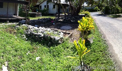
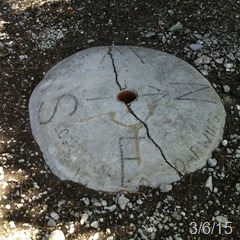
Funafuti atoll in the central Pacific was the site of the first deep drilling into a coral atoll. Darwin’s idea was Investigated in Funafuti by the Royal Society of London through expeditions led by Professor Edgeworth David 1896-1897 and 1911. The theory was investigated by looking for traces of shallow water organisms at depth. We still see evidence of the expeditions in the form of David’s Drill which is located in Funafuti and has been rescued more than once in the over 100 years since the studies were done.
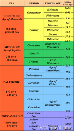
Unfortunately, David was not the one to put controversy to rest. Darwin’s Theory of Atoll Formation was not confirmed until 1953 by deep drilling on coral atolls (Ladd & Ingerson 1953). Drilling on Eniwetok Atoll, Marshall Islands, revealed the presence of olivine basalt (a volcanic rock) beneath shallow-water limestone of Eocene age at a depth of 1.3 km. They concluded that the atoll is a thick cap of limestone resting on the summit of a volcano that rises 3.2 km above the floor of the ocean.
 The role of Sealevel
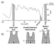
Over the last 2.58 million years, we have seen huge changes in sea level associated with the Quaternary (actually Pleistocene) ice ages. As the planet cooled at the start of each ice age, more of the Earth’s water was locked up in growing ice sheets. At the last glacial maximum, sea-level fell more than 120m lower than today’s sea-level. This left coral high and dry, exposed to chemical weathering and giving the bowl-like shape of may atolls.
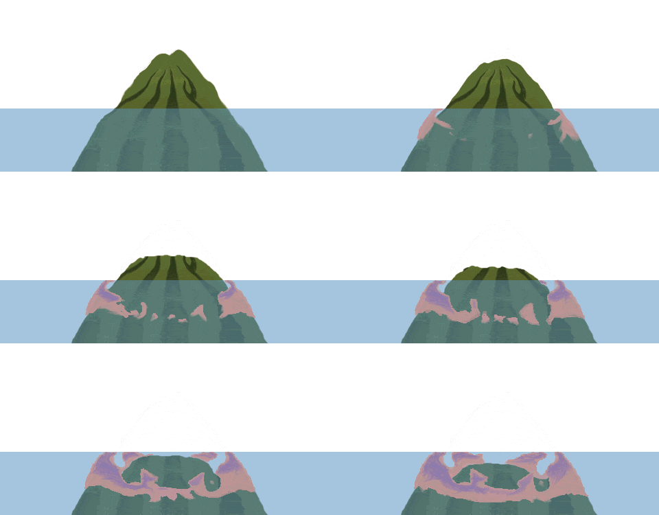 Funafuti is a Classic !
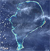
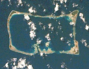
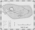
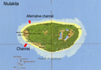
Funafuti is in the classic design for an atoll with a large central lagoon and no land in the middle. The other islands of Vaitupu, Nukufetau and Nanumea are pretty similar. Islands like Nanumaga, Niutao and Niulakita grew around a central point instead and have a fringing reef, but the process is similar.
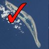
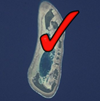
Here is a breakdown of the types of islands. Those with a tick have ponding lagoons – at low tide, the level of the water inside is greater than the ocean. They are like swimming pools.
Atolls: Funafuti, Nanumea, Nui, Nukufetau, Nukulaelae
Hybrid: Vaitupu
No central atoll lagoon (do have brackish enclosed lagoon from island collapse): Nitao, Niulakita, Nanumaga
Island Maintenance
Although of course not strictly true, you could see these atolls as ‘living islands’ in ‘dynamic equilibrium’ (not sure they are in equilibrium). They are kept in place through a dynamic exchange of forces that act to build them up and tear them down on a daily basis.
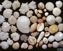
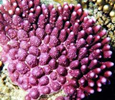
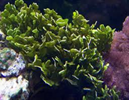
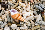
Building forces include growth of corals, foraminifera, shellfish, calcareous algae, bacteria and a range of other reef organisms that create solid skeletons of some kind. Animals such as fishes, like this parrotfish play a huge role in crunching through some of the corals and other shell-forming organisms to create tonnes of sand each year. Bacteria on the reef top weld rocks together to harden the coral substratum. Building forces also includes wave action that organises the sand and rubble into islets, and cyclones that top-dress the islands and form banks (like Bebe Bank). Trees and other vegetation help to stabilise islands and form soil. It is a truly interactive ecosystem.
Images: Parrotfish, foraminifera, coral, Halimeda algae, shells
Breaking forces include cyclones, waves and chemical weathering… and… humans.
Humans can interfere with the dynamic ‘equilibrium’ and cause (usually) the atoll to break more than it builds. Any changes in these conditions can lead to a change in the island as we know it. Right now, the breaking forces, mostly at human hands, are starting to win and our islands are eroding.
Major Environments
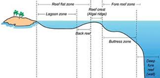 The types of ecosystems present on the islands depends to a large extent on the type or layout described above: whether they are true atolls or islands. In most cases, the marine environments are remarkably similar. The land environments have only been documented once by authors such as McLean between 1986 and 1992.
Marine Environments
The two main ecosystems that define the nearshore marine environments are the lagoon reefs and shorelines and the ocean reefs, platform and backreef. We will describe these in greater detail in another post.
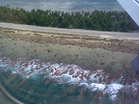
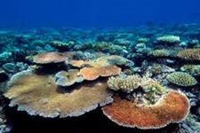
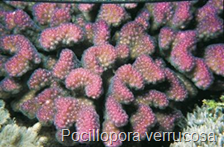
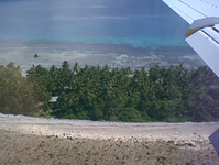
These pictures below show spur-and-groove seen from the plane, reef crest, reef flat and beach, plus the islet on approach to the airport from the South. The corals offshore on this side of the island include plating corals (e.g. Acropora hyacinthus) and the stony Pocillopora verrucosa that forms much of the rubble banks as it is hard and stony.
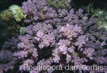
These pictures show the habitats on the lagoon side. There are more algae, and delicate coral forms, less of the stony Pocillopora verrucosa, more P. damicornis instead.
Land Environments
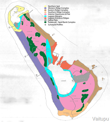 For example, this is the map of Vaitupu which has all the habitats that have developed on Tuvalu’s, with the one difference being that there is no completely enclosed brackish lagoon like we see on Niutao, Nanumaga and Niulakita.
The main structural environments developed are:
- Beach ridges. These are the rubble banks all around the island, which are separately labelled north, south, east, west etc, but are essentially the same. These continue to maintain the island by being added to by storms and reworked by waves (brown, purple, orange, dark orange and yellow). In the north it is quite sandy on Vaitupu. The highest land is 4-5m above the reef flats surrounding the island
- Inside the ridges are the depression and flat. This is where the centre of the island is slowly compressing and is where the main forest is.
- Inside of the flat and around the two lagoons is a lagoon margin habitat
- There is also a saline flat area to the East.
The study also identified 7 main vegetation types:
- Coconut woodland 77%
- Broadleaf woodland 6%
- Scrub 6.5%
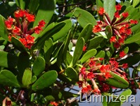
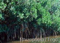
- Mangroves (Lumnitzera + Rhizophora) 0.73%
- Pulaka pits 3%
- Village gardens 3.8%
- Bare areas 2.83%
Species
There are 350 species of fishes and probably 200 plant species, with only 50 indigenous plants (the rest are exotic food & ornamentals). There are no indigenous land mammals in Tuvalu, with the only mammals present being the introduced Polynesian rat, dogs and cats. Overall 28 species of birds have been recorded. Rare / threatened species include giant clams, turtles and the bristle-thighed curlew. There could also be localised overfishing of some fishes and shells in coastal areas.
References:
McLean, R. F., Holthus, P. F., Hosking, P. L., and Woodroffe, C. D. 1991. Tuvalu Land Resources Survey: Vaitupu. FAO-AG–TUV/80/011, Island report No. 8, –127
McLean, R. F. and Hosking, P. L. 1992. Tuvalu Land Resources Survey: Funafuti. FAO-AG–TUV/80/001, Island Report 7, –64
Woodroffe, C. D., McLean, R. F., Smithers, S. G., and Lawson, E. M. 1999. Atoll reef-island formation and response to sea-level change: West Island, Cocos (Keeling) Islands. Marine Geology 160(1-2), 85-104

